The CDeepSea metadatabase
In collaboration with the Norwegian Offshore Directorate, this ambitious effort at the Centre for Deep Sea Research has consolidated decades of deep-sea metadata, from core samples to high-resolution video, into an accessible GIS -- a resource that will transform how deep-sea scientists access and share their data helping to accelerate scientific discovery.
By: Kara Turner
Published: (Updated: )

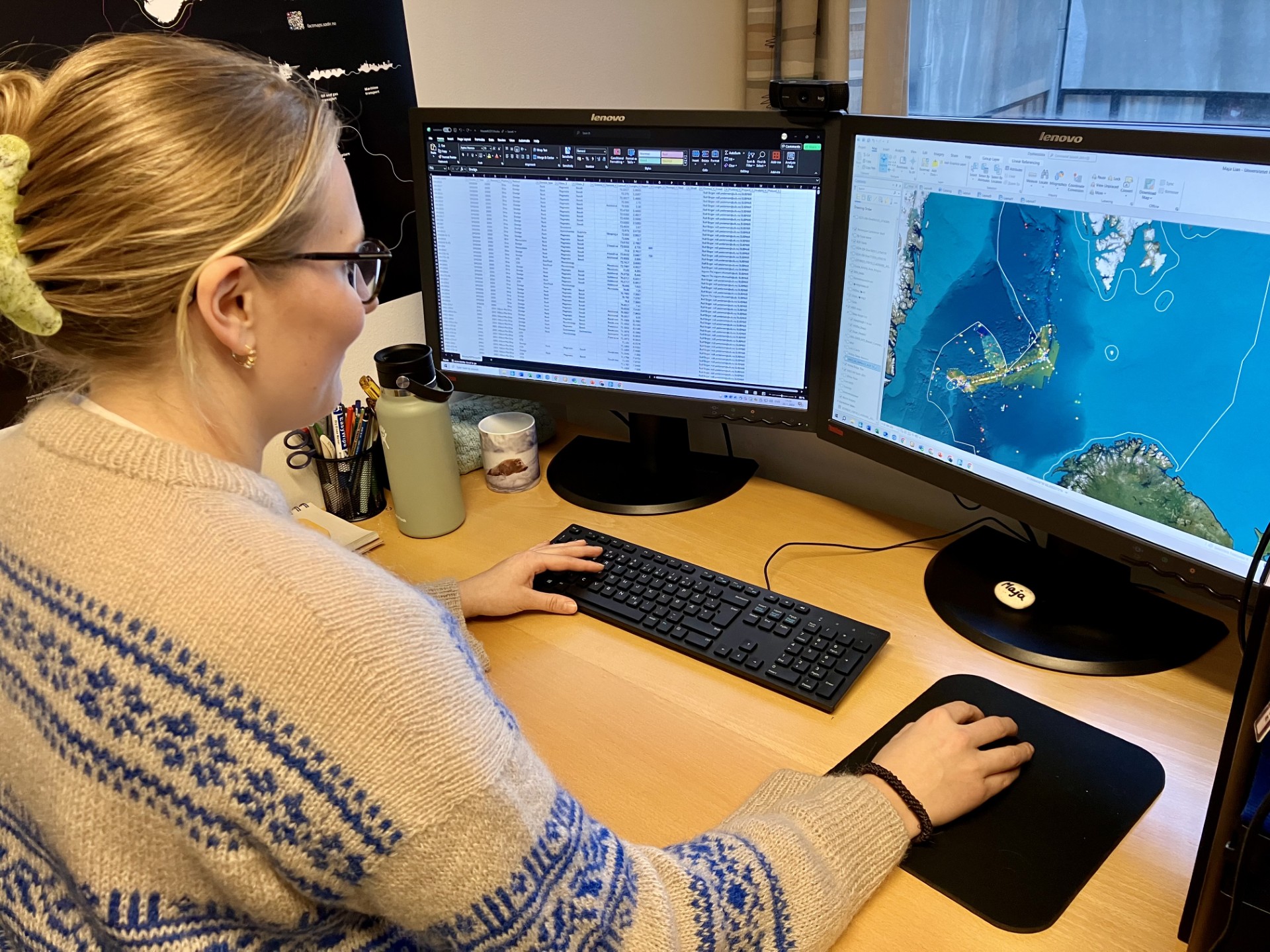
NORMAR data manager Maja Lian Jæger took on the extraordinary challenge of compiling decades of deep-sea discoveries into a pioneering and comprehensive database. Maja has so far meticulously cataloged over 4,500 georeferenced data points into ArcGIS from 25 years of expeditions along the Arctic Mid-Ocean Ridge (AMOR) to create an immensely rich database.
A summary of the work has just been published in a paper in the Norwegian Journal of Geology:
Maja Lian Jæger, Håvard Hallås Stubseid, Morgane Le Saout, Ingunn Thorseth, Steffen Leth Jørgensen, Rolf Birger Pedersen, 2026, Centre for Deep-Sea Research, University of Bergen (Norway) meta-database, Norwegian Journal of Geology, 106, 2. (external link)
This ambitious project at the Centre for Deep Sea Research, in collaboration with the Norwegian Offshore Directorate, is the first compiled dataset of deep-sea research at the University of Bergen. It aims to consolidate all metadata gathered by the Centre for Deep Sea Research and its predecessors from deep-sea missions conducted between 2000 and 2024, primarily in the Norwegian-Greenland Sea. At the heart of this exploration is Ægir 6000, a state-of-the-art remotely operated vehicle (ROV) launched in 2015 and recenly upgraded which can dive to a depth of 6000 metres.
The ROV’s manipulator arms have pincers for targeted sampling and are supported by seven high-resolution cameras. Its arsenal also includes coring devices, gas samplers, water samplers, microbiology tools and geochemical sensors. A multibeam echosounder system captures detailed, centimetre-scale maps of the ocean floor. The result is an impressive collection of data such as sampling locations, dive tracks, core samples, fluid analyses and biological specimens, as well as high-resolution video footage and photographs.
Over half the data points in the CDeepSea database were gathered by Ægir. The other data points include core locations, dredges, CTDs and so on from other projects including SUBMAR (1999-2004), BioDEEP (2004-2008), H2DEEP (2008-2013) and the Centre for Geobiology (2007-2017). The system also includes data from previous ROVs Argus Aglantha (capable of descending to 1500 m) and Bathysaurus (3000 m). Aglantha was the first Norwegian ROV built for scientific purpures while the Bathysaurus was used to find the Loki's Castle vent field in the Norwegian-Greenland Sea in 2008.
Within the CDeepSea database are layers showing different rock and core samples as well as information on methodology. There is also a layer of bathymetric data from Kartverket/GeoNorge and a Barentswatch layer that shows ice sheet coverage updated daily. Additional layers from external data sources can be added in the future to further enrich the database.
But compiling the database hasn’t been without its hurdles. One significant challenge has been standardizing georeferencing systems. Ægir 6000 and the research ships that it is launched from operate on two different systems, and older expedition logs have sometimes been difficult to pinpoint. But Maja has persevered, and data sets have been incorporated that date back to the earliest AMOR explorations at the beginning of this century.
It is hoped that this groundbreaking deep-sea database will revolutionize how the Centre specifically manages and shares its data. From maps and dive tracks to scientific analyses and even published articles, the database streamlines access for researchers, collaborators and decision-makers, paving the way for new scientific breakthroughs and ensuring that the Centre for Deep Sea’s legacy is as accessible as it is impressive.
To explore the data collected by the Centre, click on the link below to get to ArcGIS (or click on the link on the Centre's home page) and use the Menu on the left of the screen to access various datasets.
The work of the Centre for Deep Sea Research is supported by the Trond Mohn Foundation (external link) and UiB (grant # TMS2020TMT13).