Master Project Examples - Mapping winter melt events at Folgefonna glacier with radar remote sensing
Supervisor(s) Benjamin Robson (main supervisor) Andreas Born, UiB-GEO
About the research project
Project description
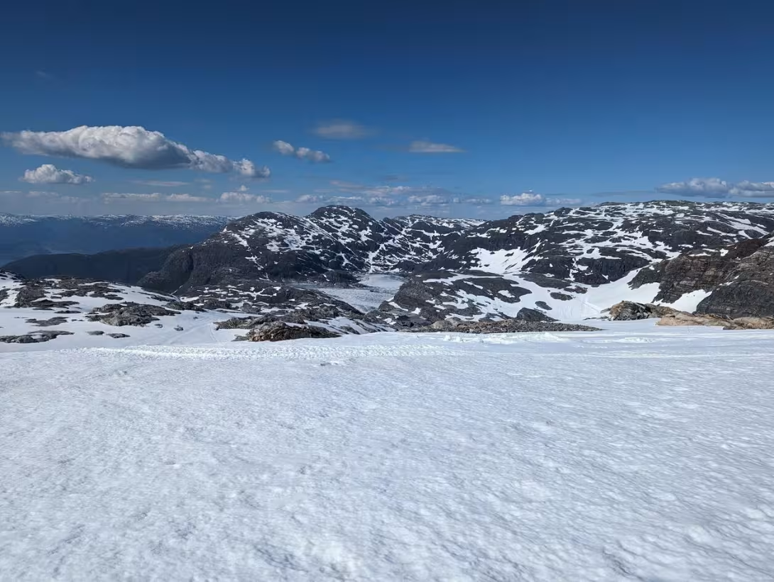
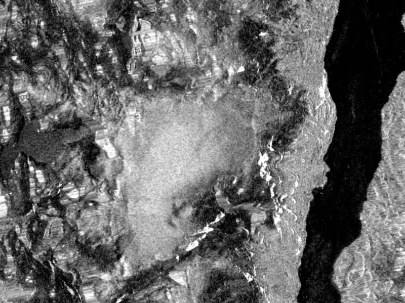
This project aims to utilize time series radar remote sensing data to map surface melt events at Folgefonna glacier throughout the winter season, quantifying spatial and temporal trends in the snowpack. The analysis will focus on how backscatter varies over a season, relating these changes to surface conditions. This approach allows for detailed monitoring of melt events and their impact on the glacier's surface and firn layer.
Additionally, the project can be extended in several ways. Students can integrate optical satellite imagery to include parameters related to surface albedo, enhancing the understanding of the energy balance at the glacier surface. Furthermore, incorporating these time series into machine learning algorithms could improve the prediction of snow variables, offering more accurate and timely data for various applications. Fieldwork will be an integral part of the project, providing essential validation for the remote sensing data and ensuring the reliability of the results. This multifaceted approach not only advances the scientific understanding of glacial processes but also offers practical applications for hydropower management and tourism.
Proposed course plan during the master's degree (60 ECTS):
GEOV325 - Glaciology
GEOV302 -Data analysis in earth science
GEOV316 - Practical Skills in Remote Sensing and Spatial Analysis
GEOV336 - Field methods in Quaternary Science
Prerequisites
Knowledge of GIS is essential
Felt- lab- og analysearbeid
This project will mainly be a computer based study, however there will be opportunities to join fieldwork as part of GEOV336 and GEOV325 to the glacier.