New data for the reconstruction of the natural topography in Viking Age Borgund
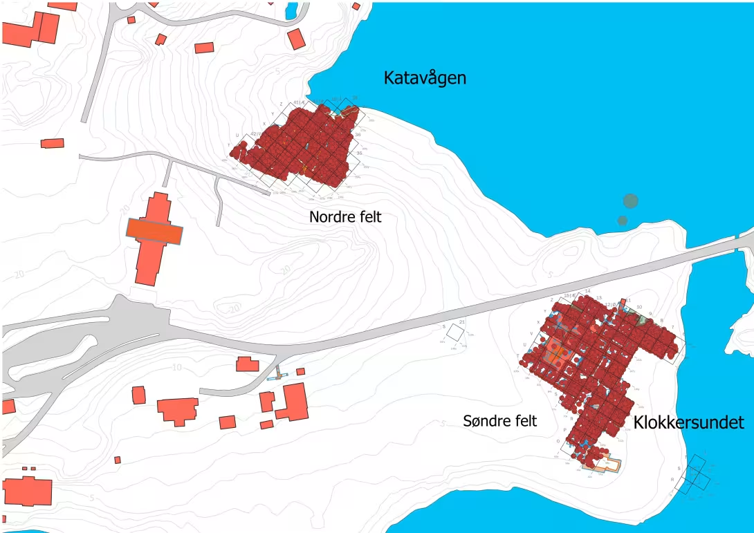
In the Viking Age and medieval period, sea levels were higher than today. Centuries of activity in Borgund have left behind thick cultural layers across Borgundgavlen, reshaping the terrain over time. Around the year 1000, the landscape looked very different. The shorelines of Katavågen and Klokkersundet reached much further inland than they do now.
By: Gitte Hansen
Published: (Updated: )
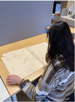
Spring 2025 Lissia Schneider (Erasmus student from University of Freiburg), Lillian Time and Rosa E. Vaksdal (AHKR201-praksis i arbeidslivet students UIB) contributed to the Borgund Kaupang Project. They collected data so we can reconstruct the natural topography in Borgund before a town emerged here.


The field observations of the transition between the cultural layers and the natural soil were retrieved and about 1850 points georeferenced!
Now we have data which will be the point of departure for reconstruction of the natural topography and the sea level around the year 1000.
Thank you Lissia, Lillian and Rosa!